September updates
Here are the updates for the last month.
The biodiversity updates deserve a highlight, and there is a blog post that covers them extensively: “Who else has data from our territory?” Working with the Wayana on biodiversity data.
GC Scripts Hub
- New connectors: Added support for GBIF, an international network and open-data infrastructure for biodiversity occurrence records. For community organizations, GBIF is often the broadest public index of biodiversity records that may relate to a territory: not only recent community monitoring, but also historical specimen collections, survey data, and observations contributed by outside researchers and institutions over many decades. More information in its documentation.
- iNaturalist improvements: Added bounding box and sample quality parameters to improve the filtering of what gets imported into the warehouse.
GC Explorer
-
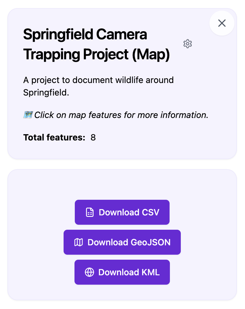
Map / Alerts Dashboard visual refresh: Updated the user interface aesthetics to match the rest of the platform.
-
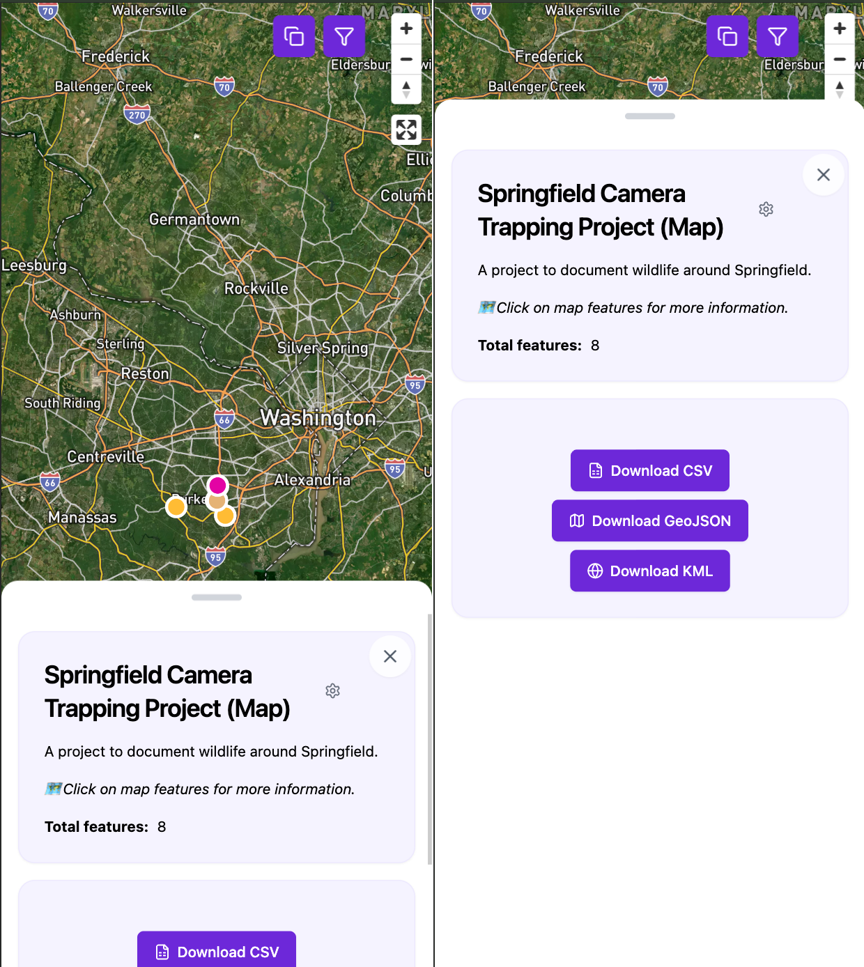
Mobile responsive design: GC Explorer is now fully optimized for mobile devices, making it easy to review and follow up on alerts directly from your phone.
-
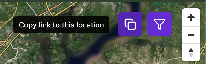
Copy view link: Added a button to copy a direct link preserving the current map zoom and center coordinates.
-
Per-basemap Mapbox tokens: Tokens can now be configured per basemap rather than globally across the map, allowing basemaps from different Mapbox accounts to be used simultaneously.
-
Bug fixes:
- Cleared toasts on route change.
- Improved handling of media rendering.
- Fixed MultiPolygon rendering issues.
GC Docs
- New guides:
- Guide updates:
- Updated the Timelapse guide to document minimally required scientific annotations.